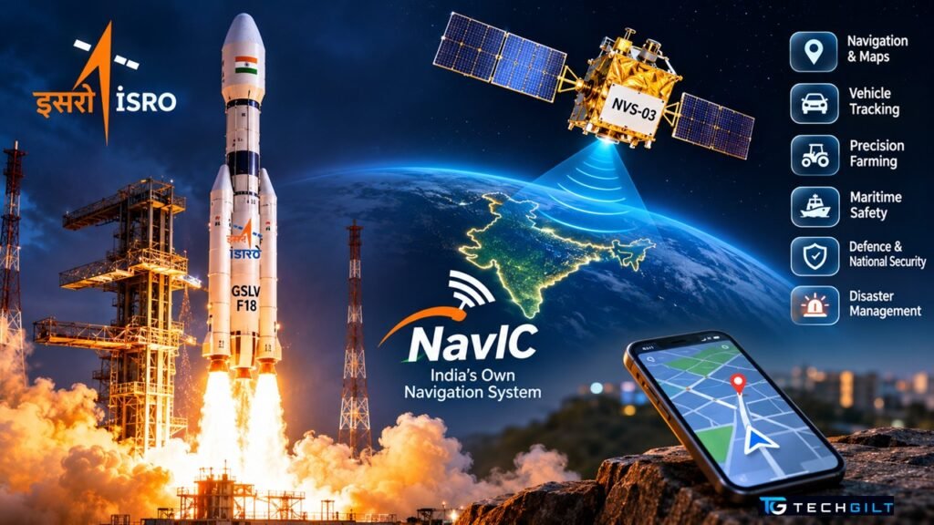
ISRO’s GSLV-F18 has placed the NVS-03 navigation satellite in orbit, a big step towards restoring India’s own GPS, NavIC. Here’s what it means and why it matters to your phone
India’s own navigation system is getting a much-needed boost. On the night of October 30, 2026, ISRO’s GSLV-F18 rocket lifted off from Sriharikota and successfully placed the NVS-03 satellite in orbit. It is the third satellite in ISRO’s new generation of NavIC satellites, India’s answer to the American GPS. If it reaches its final orbit and starts working as planned, NavIC will once again have the minimum number of working satellites it needs to give accurate positions on its own. Here’s what the satellite is, what’s new about it, and what it means for smartphones and everyday users.
Quick Answer
ISRO launched NVS-03 on GSLV-F18 at 11:51 PM IST on October 30, 2026, from the Satish Dhawan Space Centre, Sriharikota. ISRO confirmed “Mission Success”, with the satellite placed in its intended geosynchronous transfer orbit. It weighs about 2,250 kg, is designed to work for 12 years, carries an Indian-made atomic clock, and adds a new L1 signal that more smartphones can receive. Once commissioned, it should bring NavIC back to four working satellites, the minimum needed for independent positioning.
NVS-03 Launch at a Glance
| Detail | Details |
|---|---|
| Rocket | GSLV-F18 (20th GSLV flight) |
| Launch time | 11:51 PM IST, October 30, 2026 |
| Launch site | Second Launch Pad, Sriharikota |
| Satellite mass | About 2,250 kg |
| Mission life | 12 years |
| Signals | L1, L5 and S-band |
| Atomic clock | Indian-made rubidium clock, plus imported clocks |
Details as reported by The Defense News and The Week.
About 18 minutes after liftoff, the satellite separated from the rocket in an orbit of roughly 170 km by 38,080 km. Its solar panels deployed, and ISRO reported the spacecraft as healthy. ISRO posted on X: “Mission Success! GSLV-F18 has successfully placed NVS-03 in the intended orbit.”
What Is NavIC?
NavIC (Navigation with Indian Constellation), earlier called IRNSS, is India’s own satellite navigation system. It works like GPS, but it is controlled by India and designed for India and the region around it.
- Coverage: India and about 1,500 km beyond its borders
- Services: a Standard Positioning Service for the public, and a Restricted Service for authorised users such as the armed forces
- Uses: vehicle tracking, railways, ships and fishing boats, disaster management, farming, power grids, banking networks and defence
Why India needs its own system: GPS is owned by the US government. In a conflict or emergency, access to foreign navigation signals could be limited or degraded. NavIC gives India a navigation system it controls.
Why NVS-03 Is So Important
To work out your position on its own, a navigation system needs signals from at least four satellites. NavIC was designed for seven, but several older satellites have had clock failures over the years.
According to a July 2026 reply in Parliament, reported by The Week, only three NavIC satellites were providing full positioning services. That’s below the minimum of four, so NavIC couldn’t fully stand on its own. Once commissioned, the new satellite should bring the count back to four.
The NVS-02 Setback and the Fix
This launch was closely watched because the previous satellite, NVS-02, launched in January 2025, never reached its final orbit. According to The Week, its pyro valves never received the electrical signal needed to fire its engine, because of a disengaged contact in a connector.
ISRO says it has fixed the problem, and Space Minister Dr Jitendra Singh said the fix had been tested on another satellite, CMS-03. The real test comes in the next few days, when the new satellite fires its own engine to climb to its final orbit, the step where NVS-02 failed.
What’s New in NVS-03
- Indian-made atomic clock: precise timing is the heart of satellite navigation. Earlier NavIC satellites relied on imported clocks, several of which failed. The new satellite carries an indigenous rubidium atomic clock.
- New L1 signal: NavIC traditionally used L5 and S-band signals, which many phones can’t receive. L1 is the band GPS uses, so it should make NavIC work with more smartphones, smartwatches and low-power devices.
- Longer life: it is designed to work for 12 years.
What NVS-03 Means for Your Phone
Many recent smartphones sold in India already support NavIC alongside GPS. Your phone combines signals from several systems, such as GPS, NavIC, Galileo and GLONASS, to find your location faster and more accurately. With the new L1 signal, more devices should be able to use NavIC in the future.
How to check if your phone supports NavIC:
- Look at your phone’s specifications on the brand’s website for “NavIC” or “IRNSS” under location or GPS.
- Or install a free GNSS test app from the Play Store. It shows which satellites your phone is using, and NavIC satellites appear as “IRNSS” or “NavIC”.
What Happens Next
- Orbit raising: the satellite will use its own engine to reach its final geosynchronous orbit.
- Testing and commissioning: ISRO will check the satellite and its navigation signals.
- Start of service: it will then join the NavIC constellation.
- More satellites: NVS-04 and NVS-05 are in development to complete the second-generation constellation.
Google Play System Update
Samsung One UI 9 India Update
Frequently Asked Questions
What is NVS-03?
It is the third second-generation navigation satellite for NavIC, India’s own satellite navigation system. ISRO launched it on GSLV-F18 on October 30, 2026.
Was the NVS-03 launch successful?
Yes. ISRO confirmed that GSLV-F18 placed the satellite in its intended transfer orbit. The satellite will now raise its own orbit and be tested before it starts service.
What is NavIC?
NavIC is India’s regional satellite navigation system, similar to GPS. It covers India and about 1,500 km beyond its borders.
Will NVS-03 improve navigation on my phone?
Its new L1 signal should make NavIC compatible with more smartphones and devices. Phones that already support NavIC will benefit from a stronger constellation once it is in service.
What happened to NVS-02?
NVS-02 couldn’t reach its final orbit in 2025 because a connector fault stopped its engine valves from opening. ISRO says it has fixed the issue.
Conclusion
The successful launch of NVS-03 is an important step for India’s navigation independence. The satellite carries an Indian-made atomic clock, adds the smartphone-friendly L1 signal, and should restore NavIC to the four working satellites it needs for independent positioning. After the NVS-02 setback, all eyes are now on the orbit-raising manoeuvres in the coming days. If they succeed, the satellite will strengthen everything from navigation apps and vehicle tracking to disaster response and national security.
My take: I believe the successful launch of NVS-03 is a significant milestone in India’s journey towards technological independence. Having its own navigation system gives India greater control over critical services such as transport, agriculture, disaster management and defence. The indigenous atomic clock and the new L1 signal make this mission particularly exciting. However, the satellite still has to reach its final orbit and complete testing before it can deliver its full benefits. India’s progress in space technology shows the value of steady innovation, research and long-term investment. I would conclude by saying: “GPS helps us find our way, but NavIC gives India the power to define its own path.”
Over to You
Does your phone support NavIC? Check using the steps above and share what you find in the comments below.